


Balcon & tour du lac de Pellautier

rigol05
User
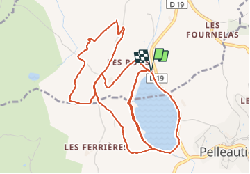


2h03
Difficulty : Medium

FREE GPS app for hiking
 SityTrail
IGN / Geographical institutes
SityTrail Plus
The world is yours!
About
Trail Walking of 7.6 km to be discovered at Provence-Alpes-Côte d'Azur, Hautes-Alpes, La Freissinouse. This trail is proposed by rigol05.
Description
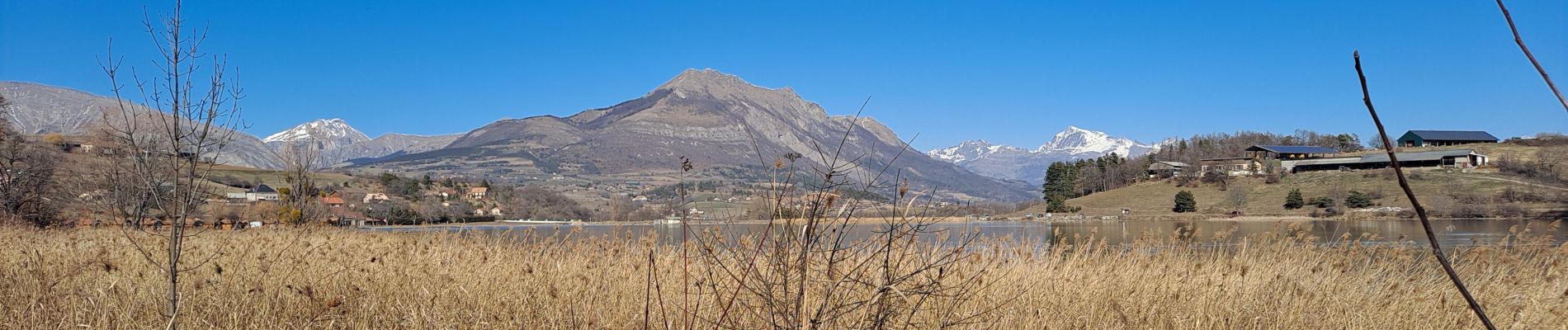
Sortie hivernale du 28-02-2022
Tour du lac de Pellautier, puis boucle par la chapelle et l'antenne en empruntant un itinéraire à travers champ, sentier et route goudronnée. La vue sur le lac, le pic de Bure et les massifs alentours est de toute beauté par journée ensoleillée.
Photos


Positioning
Comments